The slides, written out
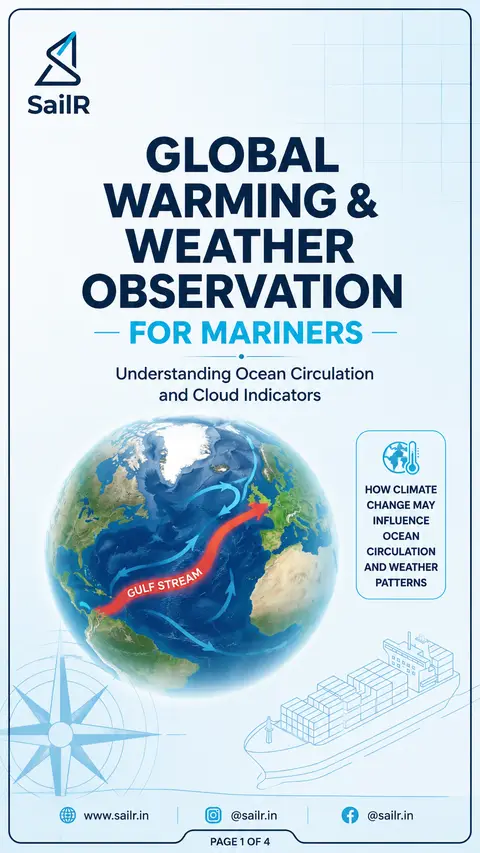
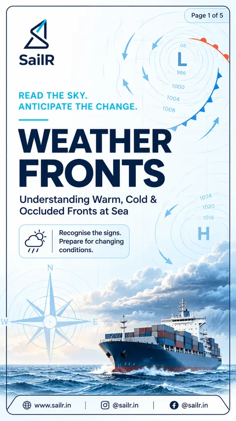
AI-drawn illustration. Simplified to explain the idea, not to scale.
Slide 1 · GLOBAL
GLOBAL
WARMING &
WEATHER
OBSERVATION
FOR MARINERS
Understanding Ocean Circulation
and Cloud Indicators
GULF STREAM
HOW CLIMATE
CHANGE MAY
INFLUENCE
OCEAN
CIRCULATION
AND WEATHER
PATTERNS
Slide 2 · EFFECTS OF
EFFECTS OF
GLOBAL WARMING
ON OCEAN CIRCULATION
Global warming may influence the Atlantic Meridional
Overturning Circulation (AMOC), a major system of Atlantic
Ocean currents that includes the Gulf Stream.
WHAT CHANGES?
Increased rainfall in the North Atlantic
Melting of glaciers and sea ice
More freshwater entering the ocean
FRESHWATER INPUT
REDUCED SALINITY
REDUCED WATER DENSITY
LESS DEEP-WATER FORMATION
POTENTIAL AMOC WEAKENING
WHY MARINERS SHOULD CARE
Long-term climate shifts
Changes in ocean conditions
Potential impacts on weather patterns
Possible effects on sea-ice distribution
CURRENT RESEARCH FOCUS
Scientists continue to study how increased freshwater and warming may affect the AMOC and its role in regulating climate and ocean systems.
Slide 3 · READING THE SKY
READING THE SKY:
MID & LOW-LEVEL CLOUDS
Cloud types that help you anticipate weather changes
ALTOCUMULUS (Ac)
NIMBOSTRATUS (Ns)
CHARACTERISTICS
CHMBCCTERISTICS
White or grey cloud patches
Thick, dark grey cloud layer
Rounded, globular cloudlets
Shapeless, diffuse appearance
Middle-level cloud
Low cloud base (varies with conditions)
Often arranged in lines or groups
Often accompanied by scud clouds below
Base typically above 2,000 m (6,500 ft)
Rainy appearance
WEATHER INDICATION
WEATHER INDICATION
Generally produces little or no precipitation
Produces continuous, widespread precipitation
Thickening cloud or cloud increasing to windward may indicate an approaching weather system
Low visibility
Prolonged rain and poor weather conditions
Watch the changes, not just the presence.
The classic rain cloud – expect steady precipitation.
Slide 4 · CUMULONIMBUS (Cb)
CUMULONIMBUS (Cb)
THE THUNDERSTORM CLOUD
High-impact cloud that demands respect at sea.
ANVIL TOP
Spreads out at upper levels
GREAT VERTICAL EXTENT
Extends from low levels to near the tropopause
FLAT BASE
Often with fractostratus beneath
PRECIPITATION
Heavy rain, hail or showers
CHARACTERISTICS
Develops from cumulus with great vertical growth
Flat, dark cloud base
Towering structure with anvil-shaped top
Extends from low levels to near the tropopause
Often produces heavy precipitation
ASSOCIATED WEATHER
Thunderstorms
Heavy showers and rain
Hail
Squally winds
Rapid wind shifts
Lightning risk
DECK OFFICER REMINDER
When a cumulonimbus develops rapidly to windward, expect deteriorating conditions. Monitor closely, follow procedures and secure all loose equipment.
Drafted by SailR from our daily lessons. AI-drawn illustration. Simplified to explain the idea, not to scale. Last updated 19 Oct 2026.
Spotted a mistake?