Weather Fronts at Sea: Warm, Cold and Occluded Fronts Explained
- times asked
- 107
- times asked
- questions
- 21
- questions
- last asked
- 2026
- last asked
Learn how warm, cold and occluded fronts form and how they affect weather at sea. Understand the chart symbols, recognise typical weather changes and combine forecasts with bridge observations.
The slides, written out
AI-drawn illustration. Simplified to explain the idea, not to scale.
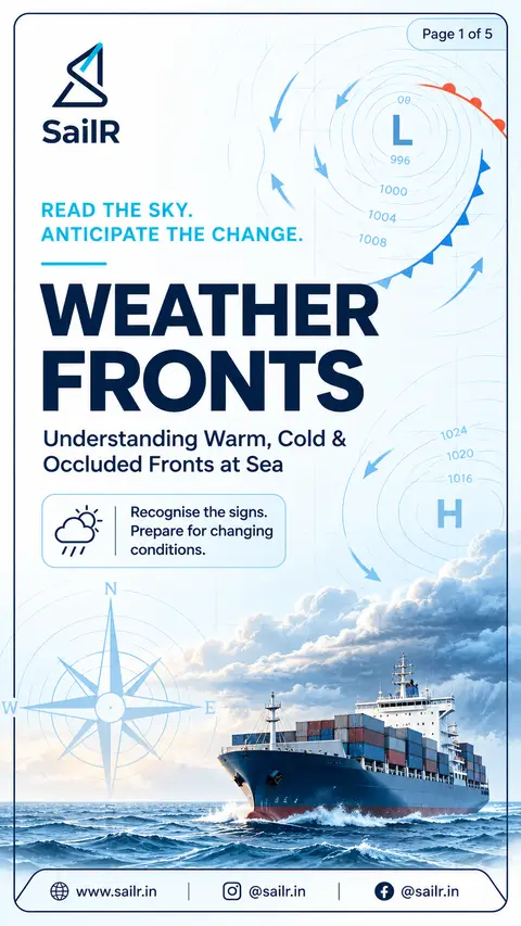
Slide 1 · Weather fronts separate air masses with different properties and help explain changing…
Weather fronts separate air masses with different properties and help explain changing weather at sea. Warm, cold and occluded fronts have different structures and are associated with characteristic weather patterns. Recognising these patterns helps a navigating officer anticipate changes in cloud, precipitation, wind and visibility.
Slide 2 · A front forms at the boundary between air masses with different properties
A front forms at the boundary between air masses with different properties. At a warm front, advancing warm air rises over colder air. At a cold front, advancing cold, dense air pushes beneath warmer air and forces it upwards. An occluded front forms when a cold front catches a warm front and lifts the warm air away from the surface.
Slide 3 · A warm front is shown by a line with red semicircles pointing in the direction of movement
A warm front is shown by a line with red semicircles pointing in the direction of movement. A cold front is shown by a line with blue triangles pointing in the direction of movement. An occluded front is shown by a line with alternating semicircles and triangles on the same side. These symbols help the officer identify the front and interpret its movement on a synoptic chart.
Slide 4 · Warm fronts are commonly associated with extensive cloud and prolonged precipitation
Warm fronts are commonly associated with extensive cloud and prolonged precipitation. Cold fronts can bring showers, heavy rain and thunderstorms, followed by improving conditions in some situations. Occluded fronts can combine weather features associated with warm and cold fronts. The actual weather depends on the air masses and the position of the observer relative to the front.
Slide 5 · Bridge officers should interpret synoptic charts alongside observations of pressure, wi…
Bridge officers should interpret synoptic charts alongside observations of pressure, wind direction and strength, temperature, cloud, precipitation and visibility. High pressure is generally associated with settled weather, but it does not guarantee clear skies or good visibility. Cloud, fog and poor visibility can still occur. Continuous observations help the bridge team assess how actual conditions compare with the expected weather.
What it is
A weather front is the boundary between air masses with different properties, such as temperature and moisture. The way these air masses meet determines how air rises and what weather can develop around the boundary. Three common frontal types are warm fronts, cold fronts and occluded fronts. Each has a different structure and can produce a characteristic pattern of cloud and precipitation. (Met Office, Weather fronts)
A warm front forms when advancing warm air rises over colder air. Because the warm air moves above the colder air, extensive cloud and prolonged precipitation can develop. A cold front forms when advancing cold, dense air pushes beneath warmer air and forces it upwards. An occluded front develops when a cold front catches a warm front and lifts the warm air away from the surface. (Met Office, Weather fronts)
Why it matters
A front helps explain why weather conditions change during a passage. Cloud, precipitation, wind and visibility can change as a front approaches and passes. Understanding the expected pattern helps an officer interpret the synoptic chart and compare the forecast with conditions observed from the bridge. The chart provides a broad picture of the weather system, while observations show what is happening at the ship's position. (Met Office, How to read synoptic weather charts)
Warm fronts are commonly associated with extensive cloud and prolonged precipitation. Cold fronts can produce showers and more unsettled conditions. However, the weather does not follow an identical sequence in every system. A disturbance along a cold front, known as a frontal wave, can slow its clearance and prolong wet weather. The officer should therefore use the forecast and actual observations rather than relying on a fixed sequence. (Met Office, Weather fronts; What is a waving front?)
How it works on board
Start by identifying the fronts on the latest available synoptic chart. A warm front is shown by a line with red semicircles, while a cold front is shown by a line with blue triangles. The symbols point in the direction of movement. An occluded front is represented by alternating semicircles and triangles on the same side of the line. (Met Office, How to read synoptic weather charts)
Next, compare the chart with the weather being observed. Monitor barometric pressure, wind direction and strength, temperature, cloud, precipitation and visibility. Isobars connect points of equal pressure, and their spacing gives an indication of wind strength. Closely spaced isobars indicate stronger winds than widely spaced isobars. These chart features help place the ship's observations in the wider weather pattern. (Met Office, How to read synoptic weather charts)
Record significant changes and continue comparing them with the expected frontal passage. If the observed weather differs from the expected pattern, reassess the chart and the available forecast. A frontal wave can prolong wet conditions, so an expected improvement behind a cold front should not be treated as guaranteed. (Met Office, What is a waving front?)
The rules
A warm front is marked by red semicircles pointing in the direction of movement. (Met Office, How to read synoptic weather charts)
A cold front is marked by blue triangles pointing in the direction of movement. (Met Office, How to read synoptic weather charts)
An occluded front is marked by alternating semicircles and triangles on the same side of the line. It forms when a cold front catches a warm front and lifts the warm air from the surface. (Met Office, Weather fronts)
Isobars connect locations of equal barometric pressure. Their spacing indicates the relative strength of the pressure gradient and gives an indication of wind strength. (Met Office, How to read synoptic weather charts)
High pressure is associated with descending air and generally settled weather. It does not guarantee clear skies or good visibility in every situation. (Met Office, High and low pressure)
Common mistakes
One mistake is to treat the typical weather associated with a front as a guaranteed sequence. Warm fronts commonly bring extensive cloud and prolonged precipitation, while cold fronts can bring showers and unsettled conditions. The details depend on the atmospheric situation, and a frontal wave can extend wet weather beyond the expected passage. (Met Office, Weather fronts; What is a waving front?)
Another mistake is to read a front symbol without considering the surrounding chart. The symbols identify the type of front and its direction of movement, while isobars show the pressure pattern. Read these features together, then compare them with the ship's observed weather. (Met Office, How to read synoptic weather charts)
A final mistake is assuming that high pressure always means clear skies. High pressure generally produces more settled conditions, but local conditions can still include cloud, fog or poor visibility. Keep observations current and assess the actual conditions rather than relying on the pressure system alone. (Met Office, High and low pressure)
In exams
Asked 107 times across 21 different questions, most recently in 2026. Asked most in 2nd Mate (100), Chief Mate (7).
Sources
- Met Office, Weather fronts. Specific sections: Cold fronts, Warm fronts and Occluded fronts.
- Met Office, How to read synoptic weather charts. Specific sections: Isobars and pressure patterns, Fronts.
- US National Weather Service, Glossary, Occluded Front.
- US National Weather Service, Glossary, Occlusion.
- Met Office, What is a waving front?
- Met Office, High and low pressure.
Drafted by SailR from the regulations cited. AI-drawn illustration. Simplified to explain the idea, not to scale. Last updated 23 Oct 2026.
Spotted a mistake?