The slides, written out
AI-drawn illustration. Simplified to explain the idea, not to scale.
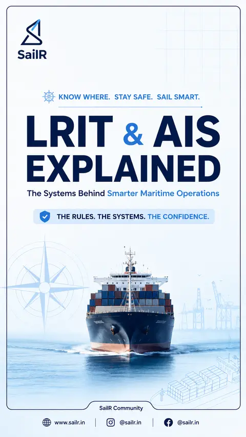
Slide 1 · KNOW WHERE
KNOW WHERE. STAY SAFE. SAIL SMART.
LRIT & AIS
EXPLAINED
The Systems Behind Smarter Maritime Operations
THE RULES. THE SYSTEMS. THE CONFIDENCE.
Slide 2 · KNOW WHERE
KNOW WHERE. STAY SAFE. SAIL SMART.
LRIT SYSTEM
ARCHITECTURE
From Ship to Authorised User
1
SHIPBORNE EQUIPMENT
• Automatically transmits shipborne equipment identifier,
GNSS position (WGS 84) and Time Stamp 1.
• Normally every 6 hours.
• Configurable from 15 minutes to 6 hours when a more
frequent interval is requested.
• Supports on-demand polling.
• Connected to required power arrangements.
2
COMMUNICATION SERVICE PROVIDER
Carries the LRIT message through the communication path
to the next stage.
3
APPLICATION SERVICE PROVIDER
• Receives LRIT information from the CSP.
• Adds required information (Time Stamp 2, Time Stamp 3,
IMO number, MMSI and LRIT Data Centre identity).
• Holds functionallity to send configuration commands
to the shipborne equipment.
• Forwards the expanded message to the associated
LRIT Data Centre.
4
LRIT DATA CENTRE
• Stores incoming LRIT information and distributes it to
authorised LRIT Data Users according to the DDP.
• Executes polling requests and manages archived data.
• Notifies Administration if transmission stops.
• Provides information to SAR services in its area.
5
INTERNATIONAL LRIT DATA EXCHANGE (IDE)
• Routes LRIT messages between LRIT Data Centres
using addressing information.
• Does not have the capability to archive or view/access
LRIT information.
• Uses a store-and-forward buffer and maintains journals.
6
LRIT DATA USERS
FLAG STATE
PORT STATE
COASTAL STATE
SAR SERVICE
7
DDP (DATA DISTRIBUTION PLAN)
Provides the standing orders and geographical information that determine
who is entitled to receive LRIT information and how it is distributed.
Source: IMO SOLAS V/19-1; IMO Resolution MSC.263(84)/Rev.1
Slide 3 · THE DDP
THE DDP
The Routing & Entitlement Framework
DDP
The LRIT Data Distribution Plan contains the information required by LRIT Data Centres to determine how LRIT information is distributed to authorised users.
KEY INFORMATION IN THE DDP
1. AUTHORISED USERS
Contracting Governments and SAR services entitled to receive LRIT information.
2. GEOGRAPHICAL AREAS
Defined areas in which particular LRIT users are entitled to receive information.
3. PORTS & FACILITIES
A list of ports and other facilities with their positions referenced using the WGS 84 datum.
4. DATA CENTRES
National, Regional, Co operative and International LRIT Data Centres, with relevant contact information.
EXAMINER'S POINT
The DDP determines who is entitled to receive LRIT information and provides the information needed for its distribution.
SHIP
ASP
DATA CENTRE
DDP RULES
AUTHORISED USER
Source: IMO SOLAS V/19-1; MSC.263(84)/Rev.1
Slide 4 · LRIT
LRIT
PERFORMANCE & SECURITY
What the System Must Deliver
PERFORMANCE STANDARDS
15 MINUTES
LRIT information should be available to the authorised user within 15 minutes of transmission.
30 MINUTES
On demand LRIT information should be provided to the authorised user within 30 minutes of the request.
QUALITY OF SERVICE
95%
Over any 24 hour period
99%
Over any 1 month period
ARCHIVED DATA RETRIEVAL
≤ 4 days old
> 4 to 30 days old
> 30 days old
30 min
1 hour
5 days
LRIT Data Centres must archive LRIT information for at least 1 year.
SECURITY PRINCIPLES
AUTHENTICATION
Access restricted to authorised personnel only.
CONFIDENTIALITY
LRIT information must be protected from unauthorised disclosure.
INTEGRITY
Data exchanged must be protected against alteration.
REMEMBER:
15 min • 30 min • 95% • 99%
Source: IMO SOLAS V/19-1; MSC.263(84)/Rev.1
Slide 5 · USE AIS SMART
USE AIS SMART. NAVIGATE SAFELY.
AIS FOR
COLLISION AVOIDANCE
Use AIS as an Aid — Not as a Replacement
HOW TO USE AIS
1
ENHANCE SITUATIONAL AWARENESS
Use AIS as an additional source of navigational information.
2
CROSS CHECK WITH RADAR / ARPA
Radar provides target tracking information.
Use AIS alongside radar — if the information differs, investigate.
3
VALIDATE THE DATA
AIS information may contain incorrect or outdated sensor or manual data.
4
APPLY THE COLREGs
AIS supports your assessment. It does not determine the collision avoidance manoeuvre. You remain responsible.
KEY LIMITATIONS
NOT EVERY VESSEL TRANSMITS AIS
Leisure craft, fishing vessels, warships and some vessels may not be fitted with AIS or may have it switched off.
Radar and proper lookout remain essential.
AIS SHOWS INFORMATION, NOT INTENTION
A displayed course and speed do not guarantee the other vessel's next manoeuvre.
VHF RANGE DEPENDS ON CONDITIONS
AIS uses VHF communications. Typical sea range is about 20–30 NM, depending on antenna height and propagation conditions. AIS may detect vessels around bends or behind islands where terrain permits.
SECURITY CONSIDERATION
AIS should normally remain in operation. In specific security situations, the Master may switch it off in accordance with applicable guidance, with appropriate recording.
AIS CARRIAGE REQUIREMENTS – SOLAS V/19
300 GT AND UPWARDS
Engaged on international voyages
500 GT AND UPWARDS (CARGO SHIPS)
Not engaged on international voyages
ALL PASSENGER SHIPS
Irrespective of size
AIS = ADDITIONAL INFORMATION, NOT COLLISION AVOIDANCE AUTHORITY
Use all available information. Follow COLREGs. Maintain a proper lookout.
Sources: SOLAS V/19-1 | IMO Resolution A.1106(29) | COLREGs
| |
Drafted by SailR from our daily lessons. AI-drawn illustration. Simplified to explain the idea, not to scale. Last updated 19 Oct 2026.
Spotted a mistake?